Published in: Kokiri Issue 22 - Paenga-whāwhā - Haratua 2011
Te Puni Kōkiri realised the potential in supporting owners of multiply-owned Māori land to use their land as a sustainable and practical resource making positive gains socially, culturally, spiritually, politically and economically.
Regional Director, Roger Aranui, says, “The project supports owners to exercise mana and kaitiakitanga over their land, to consider their people, development needs and have a clear pathway forward.”
“It’s all about adding value, both for the people and the land – utilising Māori land.” That’s the short answer from Shona Jones, Project Manager of Mana Whenua. The aim is to help move owners from being unmanaged to being fully operational with a strategic approach utilising collaborative support through her team, Māori Land Court and other local and central government agencies.
In working with Māori land, some clear issues and best practice arise. Systems to manage owners and the increasing number of beneficiaries become important when considering how best to optimise land for future generations. Many landowners are fixed in a leasing model, distributing rents because it’s a low-risk option. Whilst, some relatively small blocks use joint ventures to produce high returns which are then used to achieve wider social and cultural goals such as education scholarships, kaumātua assistance and medical benefits. “The land is helping to grow the next generation of decision-makers and caretakers of the land. Good governance and decision-making is important,” Shona says. Wally Stone, at the 2010 Federation of Māori Authorities (FOMA) Hui, said: “Profits are like oxygen. They’re necessary for breathing but they’re not the only thing. Profits are about building communities, about how to bridge the gap between those at the bottom and those at the top.”
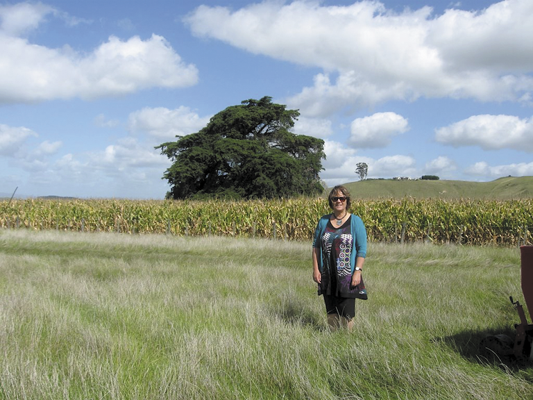
Local Tūtira land-block owners are keen to participate in the project. “There are things that we want to look at doing with our land – eco-tourism, and recreation – but before we could do anything, we had to form an Ahu Whenua Trust. Without that, there wasn’t a management committee that could act on behalf of the owners. We were stymied,” said Henare Rātima, Chair for the newly established Tutira B7 and B19 Ahu Whenua Trust. “We got support first of all to get the Trust in place and then had to look at our options for reclaiming the land. After that, we’ll need to look at future use and development of the land in line with what we want to see.”
The block is an example of land moving from being unmanaged to managed with owners exercising autonomy and kaitiakitanga over their land. “Not every block is best served by trusts made up of owners and beneficiaries but in a case like this, they’re the ones who know most about the land and are active and vocal in getting things done,” says Shona.
For further information on the project, please contact the Te Puni Kōkiri Takitimu Regional Office on (06) 8780757.
Developing Māori Land in the Wairarapa
Te Puni Kōkiri’s Takitimu team supported the development of a Wairarapa Māori Land Regional Development strategy with Wairarapa Moana.
Regional Director, Roger Aranui, says, “Māori landowners need accessible systems that can give good insight into the potential of their land before investment.”
Stage one of the project included a prototype GIS (Geographic Information System or Geospatial Information System) database to analyse and assess resources. Stage two applies this information to specific land blocks in the Wairarapa.
The project identifies a range of potential land development opportunities in agriculture and horticulture across a range of Māori-owned land blocks in the Wairarapa. The system is an important preliminary step for land owners to consider and make decisions about possiblities and future developments, forming relationships with neighbouring blocks and prioritising further advice to assess developments.
In the simplest terms, GIS is the merging of cartography, statistical analysis and database technology. GIS may be used in archaeology, geography, cartography, land surveying, natural resource management, urban planning, emergency management, and landscape architecture, amongst other uses.